
| Method | Copper engraved with hand colour |
| Artist | Roper, John after Cole, G. |
| Published | London Publish'd for the Proprietors by Vernor, Hood, & Sharpe, Poultry. Oct. 1.1808 |
| Dimensions | 175 x 227 mm |
| Notes |
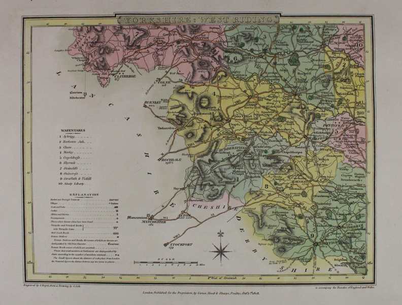
A detailed sectional map of Yorkshire From 'The Beauties of England & Wales'. John Roper (1771-c.1810) was an English engraver known to have worked from several locations in London. He engraved the maps, drawn by G.Cole, to accompany Edward W. Brayley and John Britton's partwork entitled "Beauties of England Wales". This work was published in 18 volumes between c.1804 and 1810, which was published as "The British Atlas" in 1810 by Verner, Hood and Sharpe. Roper's maps were also re-issued to illustrate the Reverend J Nightingale's "English Topography" of 1816 (and other later editions), published by Baldwin, Craddock and Joy - another publishing partnership of the nineteenth century. |
| Framing | unmounted |
| Price | £50.00 |
| Stock ID | 43332 |