
| Method | Copper engraved with hand colour |
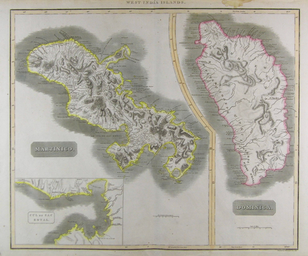
| Artist | Thomson, John |
| Published | Edinburgh c. 1815 |
| Dimensions | 590 x 505 mm |
| Notes |
Detailed maps of the islands of Martinique and Dominica on one sheet, from 'Thomson's New General Atlas'. The Martinique map includes an inset of the "Cul de Sac Royal," or Fort Royal Bay. Condition: Vertical centre fold as issued. Stain to top right margin. |
| Framing | unmounted |
| Price | £200.00 |
| Stock ID | 22203 |