
| Method | Copper engraved with hand colour |
| Artist | Cary, John |
| Published | London, Published Jan. 1st 1793, by J. Cary Engraver & Map seller, Strand. |
| Dimensions | 215 x 262 mm |
| Notes |
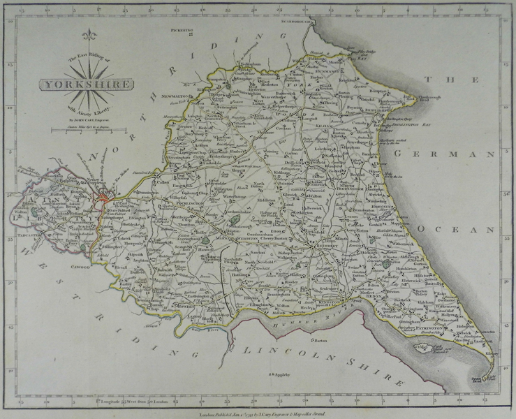
A detailed map of the East Riding of Yorkshire, from 'Cary's New and Correct English Atlas'. John Cary (1755-1835) was an English cartographer, engraver, globe maker and publisher. Working with his brother George, he was apprenticed to William Palmer in 1770, and was appointed surveyor of roads to the general post office in 1794. Cary is best known for his English county atlases, particularly Cary's New and Correct English Atlas, and for engraving the plates for Robert Gough's editions of Camden's Britannia, published in 1789 and 1806. Condition: Light stain to lower margin. |
| Framing | unmounted |
| Price | £60.00 |
| Stock ID | 41326 |