
| Method | Copper engraved with original hand colour |
| Artist | Wyld, James |
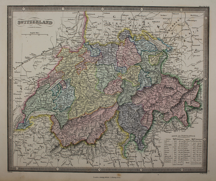
| Published | Stockley Sculp. London, James Wyld, 5 Charing Cross. [c.1840] |
| Dimensions | 235 x 275 mm |
| Notes |
A mid-nineteenth century map of Switzerland, in beautiful original hand colour, from James Wyld's An Atlas of The World, Comprehending Separate Maps of its various Countries. Constructed & drawn from the latest Astronomical & Geographical Observations. The country is divided into its Cantons, with each presented in full wash colour. In the bottom right corner, columns of figures show the area and population of each canton. James Wyld (1812-1887) was a British publisher and cartographer. His greatest geographical achievement was Wyld's Great Globe, exhibited in Leicester Square between 1851 and 1862. The globe, sixty feet high and lighted with gas, was at that point the largest ever constructed. He was geographer to Queen Victoria and H.R.H. Prince Albert. Condition: Trimmed within platemark at top and bottom, as issued. Small rust spot to inscription line, and minor time toning to edges of sheet. Blank on verso. |
| Framing | unmounted |
| Price | £50.00 |
| Stock ID | 48791 |