
| Method | Steel engraved with hand colour |
| Artist | Archer, Joshua |
| Published | Drawn & Engraved by J. Archer, Pentonville, London. [c. 1840] |
| Dimensions | 232 x 180 mm |
| Notes |
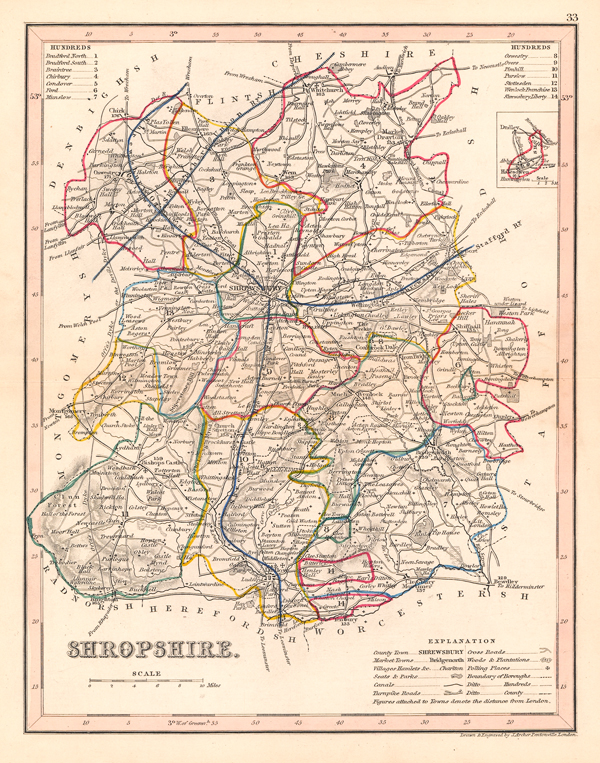
A detailed county map of Shropshire, engraved for 'Dugdales England and Wales Delineated'. Joshua Archer (fl. 1841 - 1861) was a draughtsman of Pentonville, London, and a prolific engraver of maps. He produced a series of maps for William Pinnock, a part series of Diocese maps for the British Magazine, some maps for Henry Fisher, and engraved a set for Thomas Dugdale's Curiosities of Great Britain. The Dugdale maps were engraved by Archer to replace those by Cole and Roper found in the early copies of Dugdale's historical and topographical gazetter-style work. Condition: Central horizontal fold, as issued. Time toning to sheet. Blank on verso. |
| Framing | unmounted |
| Price | £35.00 |
| Stock ID | 51425 |