
| Method | Lithograph |
| Artist | [Anonymous] |
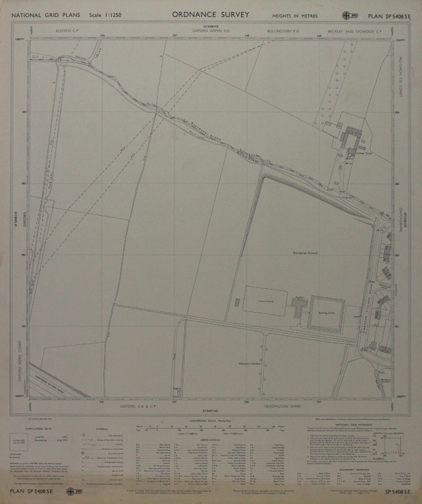
| Published | Made and Published by the Director General of the Ordnance Survey, Southampton, 1974. |
| Dimensions | 445 x 435 mm |
| Notes |
A map depicting parts of Barton, with the end of Barton Village Road and the old Recreation Grounds, soon to be Barton Park. Ordnance Survey or "OS" is the national mapping agency of Great Britain. The agency provides the most recent and accurate geographic data of Great Britain to the government, businesses and individuals. It was officially founded in 1791, but has even earlier roots. The government first ordered the department of Defence to map the Scottish Highlands after a rebellion took place there in 1745. When the French Revolution started, a survey of the English south coast was ordered. These first surveys were meant to support strategic military planning. William Roy (1726 - 1790), an engineer who worked for the government on these first surveys, became convinced that accurate mapping of Great Britain in its entirety was needed. His vision greatly influenced the foundation of the Ordnance Survey. Condition: Slight overall time toning. |
| Framing | unmounted |
| Price | £25.00 |
| Stock ID | 46571 |