
| Method | Steel engraved with hand colour |
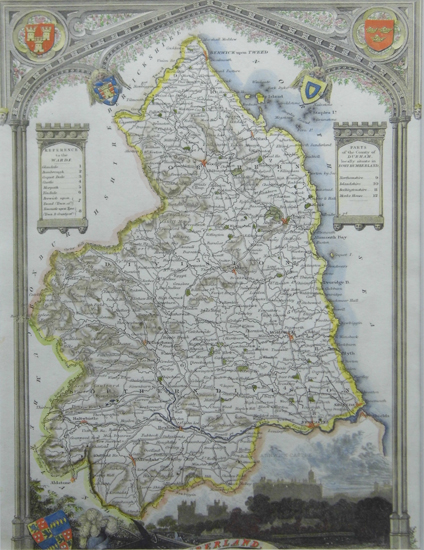
| Artist | Moule, Thomas |
| Published | c. 1840 |
| Dimensions | 263 x 193 mm |
| Notes |
Originally a writer on Heraldry and general antiquities, Moule was born in Marylebone, London. From around 1816 to 1823 he was a Bookseller, his shop was in Grosvenor Square, London. He then became an inspector of letters in the General Post Office, where his responsibilities included trying to 'read' illegible hand writing! His highly decorative series of county maps were first published in separate issues for each county between 1830 and 1832. In 1836 these were brought together in one work, by George Virtue & Co. They continued to appear in Rev. Barclay's Dictionary into the 1840's. |
| Framing | mounted |
| Price | £80.00 |
| Stock ID | 34152 |