
| Method | Steel engraved with original hand colour |
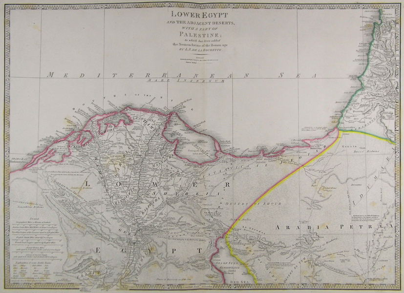
| Artist | Wyld, James |
| Published | London. Published by Jas. Wyld. Charing Cross East, & Model of the Earth, Leicester Sqr. 1854. |
| Dimensions | 536 x 740 mm |
| Notes |
Hand coloured map of Africa from James Wyld's A New General Atlas of Modern Geography. James Wyld (1812-1887) was a British publisher and cartographer. His greatest geographical achievement was Wyld's Great Globe, exhibited in Leicester Square between 1851 and 1862. The globe, sixty feet high and lighted with gas, was at that point the largest ever constructed. He was geographer to Queen Victoria and H.R.H. Prince Albert. Condition: Centre fold, as issued. Foxing in lower half. |
| Framing | unmounted |
| Price | £100.00 |
| Stock ID | 41857 |