
| Method | Woodcut |
| Artist | Archer, Joshua |
| Published | J. Archer sc. London, Edwards, 12 Ave Maria Lane [c.1833] |
| Dimensions | 240 x 162 mm |
| Notes |
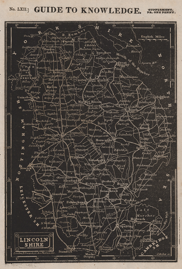
A detailed map of the county of Lincolnshire, printed in black from William Pinnock's Guide to Knowledge (No. LXII). This publication was a serialised work that also included county maps, town plans and maps of the continents. The maps from this series are interesting as they are printed using a relief woodblock printing process so the lettering and outlines are in white with a black background. Joshua Archer (c.1792-1863) was a draughtsman of Pentonville, London, and a prolific engraver of maps. He produced a series of maps for William Pinnock between 1833 and 1839, a part series of Diocese maps for the British Magazine, some maps for Henry Fisher, and engraved a set for Thomas Dugdale's Curiosities of Great Britain. The Dugdale maps were engraved by Archer to replace those by Cole and Roper found in the early copies of Dugdale's historical and topographical gazetteer-style work. Condition: Binders holes to left margin. Minor time toning and creasing to margins. Blank on verso |
| Framing | unmounted |
| Price | £45.00 |
| Stock ID | 51506 |