0 items in basket: £0.00
Wishlist contains 0 items
Advanced search
»
Catalogues & Lists
New Acquisitions
News & Events
About Us
Contact
Subscribe
Prints
Maps
Books
Home
Maps
English Counties
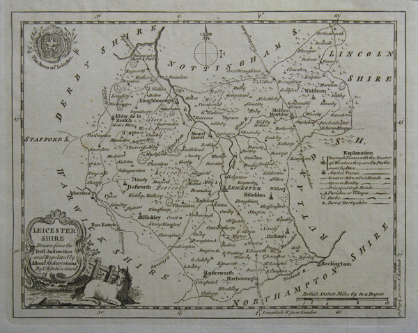
Leicestershire
Leicestershire
Method
Copper engraved
Artist
Kitchin, Thomas
Published
c. 1750
Dimensions
168 x 215 mm
Notes
Thomas Kitchin (1718-1784)
.
Framing
unmounted
Price
£50.00
Stock ID
22518
Quantity
required