
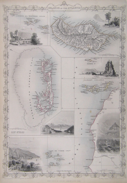
| Method | Steel engraved with hand colour |
| Artist | Rapkin, John |
| Published | John Tallis & Company, London & New York [c. 1850] |
| Dimensions | 350 x 245 mm |
| Notes | Rapkin, John (fl. 1835-1865) drew and engraved maps for John Tallis's The Illustrated Atlas and Modern History of the World. John Tallis and Co. was an English cartographic company which published views, maps and atlases in London from 1838 to 1851. Many of these maps, noted for their distinctively intricate borders and their illustrated scenes by Henry Winkles, were reprinted in the early 1860s by the London Printing and Publishing Company. |
| Framing | unmounted |
| Price | £95.00 |
| Stock ID | 35659 |