0 items in basket: £0.00
Wishlist contains 0 items
Advanced search
»
Catalogues & Lists
New Acquisitions
News & Events
About Us
Contact
Subscribe
Prints
Maps
Books
Home
Maps
English Counties
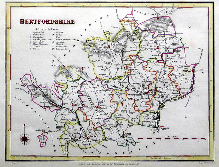
Hertfordshire
Hertfordshire
Method
Steel engraving with hand colouring
Artist
Walker, John and Charles
Published
Drawn and Engraved for Lewis Topographical Dictionary. c. 1836
Dimensions
173 x 222 mm
Notes
Framing
unmounted
Price
£40.00
Stock ID
2345
Quantity
required