
| Method | Copper engraved with original hand colour |
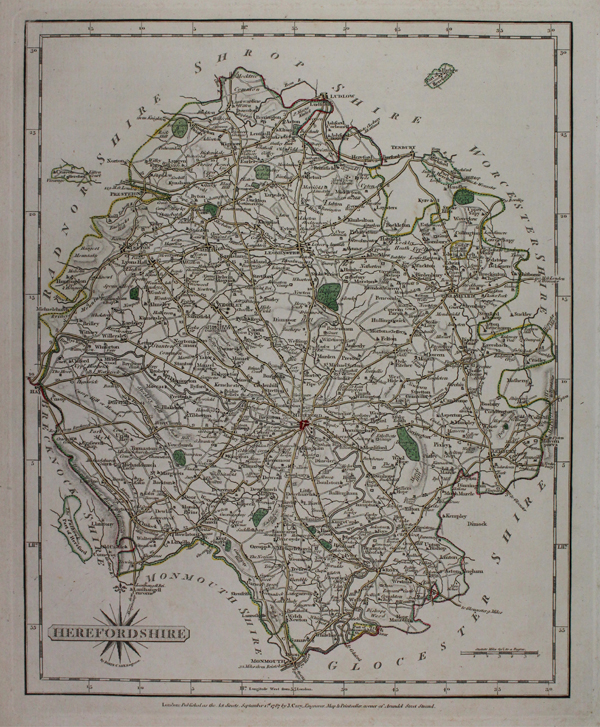
| Artist | Cary, John |
| Published | London: Published as the Act directs, September 1st. 1787 by J.Cary, Engraver, Map & Printseller, corner of Arundel Street Strand. |
| Dimensions | 268 x 210 mm |
| Notes |
A detailed map of Herefordshire with fine engraving and original hand colour, from Cary's 'New and Correct English Atlas.' John Cary (1755-1835) was an English cartographer, engraver, globe maker and publisher, often working with his brothers George and Francis. In 1770, he was apprenticed to William Palmer, and became surveyor of roads to the general post office around 1794. He is best known for his English county atlases, particularly Cary's New and Correct English Atlas, published in 1787-1789, and the miniature Traveller's Companion. He also engraved the plates for Robert Gough's edition of Camden's Britannia, which was published in 1806. Condition: Minor foxing and staining to margins. |
| Framing | mounted |
| Price | £50.00 |
| Stock ID | 48122 |