
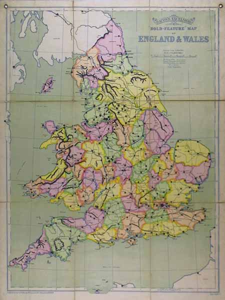
| Method | Chromolithograph |
| Artist | Bacon, George Washington |
| Published | Published by G. W. Bacon & Co, Ltd, 127 The Strand, London 1920 |
| Dimensions | Each sheet 330 x 250 mm Whole map 1000 x 760 mm |
| Notes |
A large folding map of 9 sheets laid to linen with loop holes for hanging from Bacon's New Series of Political Wall Atlases Part IV British Isles A bold feature map outlining railways lines and county towns. Condition:Slightly marked around the edges and a tear on the top left fold be careful when folding and unfolding. London County Council library stamp on the verso. |
| Framing | unmounted |
| Price | £200.00 |
| Stock ID | 38743 |