
| Method | Copper engraved with original hand colour |
| Artist | Pigot, James |
| Published | Published by Pigot & Co. 59 Fleet Street London & Fountain St. Manchester |
| Dimensions | 358 x 225 mm |
| Notes |
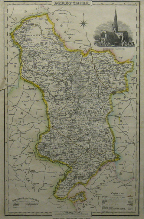
A decorative nineteenth century map of the county of Derbyshire, from Pigot's British Atlas. The borders of Derbyshire and adjoining counties are outlined in original hand colour, and at the top right, a vignette shows Ashborn Church. James Pigot (1769-1843) was an English cartographer, engraver, printer, and publisher. He is best known for his series of finely engraved oblong county maps, issued in various National Commercial Directories throughout the 1820s and 1830s, and published collectively as Pigot & Co's British Atlas in 1831. Pigot traded in London with Charles Elkins and Isaac Slater under the names Pigot & Co and Pigot & Slater, while at the same time trading in Manchester in partnership with his son, James Pigot Jnr, under the name Pigot & Son. |
| Framing | mounted |
| Price | £75.00 |
| Stock ID | 12010 |