
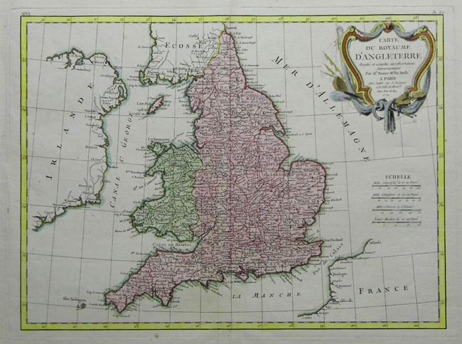
| Method | Copper engraved with hand colour |
| Artist | Arrivet, J. after Bonne, Rigobert |
| Published | Paris, 1771. |
| Dimensions | 303 x 420 mm |
| Notes |
A major cartographer of the late 18th century, Rigobert Bonne (1727-1795) was Royal Cartographer to France, succeeding Jacques Nicolas Bellin in the office of the Hydrographer at the Depôt de la Marine. Bonne produced some of the most detailed and precise maps of the period. Bonne's maps represent a departure from the more decorative maps of the previous century, and although much of Bonne's cartographic style can be traced to his predecessor, Bellin, Bonne maps are generally less decorative, characteristically lacking ornate cartouches, compass roses, or contemporary hand colour. Condition: Centrefold as issued. Foxing to lower margin, not affecting image. |
| Framing | mounted |
| Price | £180.00 |
| Stock ID | 32200 |