
| Method | Copper engraved with original hand colour |
| Artist | Darton, William |
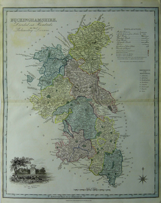
| Published | London: William Darton & Son: Holborn Hill, 1822, but c. 1833. |
| Dimensions | 443 x 360 mm |
| Notes |
A scarce map of Buckinghamshire prepared by Thomas Dix and published by William Darton for A Compleate Atlas of the English Counties. The maps were issued a number of times both as an atlas and seperatly, but they are surprisingly scarce. The maps have a description of the county, refrence to the Hundreds, a list of the Market Towns and Market Days, a key, a scale of miles and an engraved vignette, in this case Stoke Park, Buckinghamshire; Gray's Monument. William Darton (1781-1854) son of William Darton and Hannah Pace. He was an engraver, bookseller, printer, publisher, printseller an mapseller in London. He specialised in publishing educational material for children in a addition to publishing prints, jigsaws and games. Condition: Centrefold as issued with some discolouration and some offsetting. |
| Framing | unmounted |
| Price | £200.00 |
| Stock ID | 30810 |