
| Method | Steel engraved with hand colour |
| Artist | Dower, John |
| Published | London: Published by Henry Teesdale & Co. [1844] |
| Dimensions | 410 x 335 mm |
| Notes |
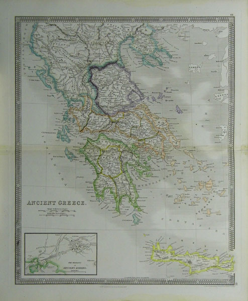
From A New General Atlas of the World, Compiled And Constructed With The Greatest Care From The Latest Government And Other Approved Modern Surveys And Authorities, Both English And Foreign; Containing Separate Maps Of Its Various Countries And States, And Exhibiting Their Boundaries And Divisions, Chains Of Mountains, Rivers, Lakes, And The British And Foreign Railways, Completed And Projected: Comprehended In Forty-Seven Maps, Including Ancient Maps Of Greece, The Roman And Persian Empires, And Palestine, From Drawings made expressly for this Work by The Most Eminent Draftsmen, And Executed By First-Rate Engravers. (London: Henry Teesdale and Co., 1844). Henry Teesdale was a London-based publisher of maps active in the first half of the nineteenth century. A founding fellow of the Royal Geographical Society, Teesdale produced large-scale maps and atlases. He is best-known for re-issuing Christopher Greenwood's 1818 map of Yorkshire (1828), the New British Atlas (1829-35) which was first published by Robert Rowe in 1816, and various world charts and atlases. Condition: Vertical fold in centre of each sheet as issued. Discolouration on fold. |
| Framing | unmounted |
| Price | £50.00 |
| Stock ID | 31321 |