
| Method | Copper engraved with hand colour |
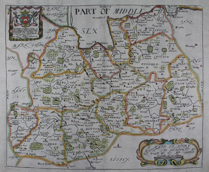
| Artist | Blome, Richard |
| Published | by Ric. Blome by his Ma.tys comand [London, c.1673] |
| Dimensions | 256 x 310 mm |
| Notes |
A decorative county map of Surrey from the 'Britannia', Blome's larger series of county maps. Richard Blome was one of the most active map-publishers of his day, working between about 1667 and 1705. His principal publications were the 'Geographical Description of the World', and two county atlases, the 'Britannia', published in 1673, and 'Speed's Maps Epitomiz'd', published in 1681. Blome first began engraving maps for his Geographical Description Of The Four Parts Of The World in 1667. The completed volume was in small folio, and contained 24 maps (plus one duplicated), engraved by Francis Lamb, Thomas Burnford, and Wenceslaus Hollar Blome has been heavily criticised as a plagiarist, but he lacked the capital to be innovative (as indeed did virtually all his contemporaries), and his output filled an important gap in the market. The 'Geographical Description' was the first new, and uniformly assembled, folio world atlas to be published in London since 1627, while the next folio world atlases appeared in the decade 1710-1720. Condition: Central vertical fold, as issued. Tear repair to bottom of central fold. Minor chips to bottom edge of sheet, without loss to plate. |
| Framing | unmounted |
| Price | £400.00 |
| Stock ID | 12002 |