0 items in basket: £0.00
Wishlist contains 0 items
Advanced search
»
Catalogues & Lists
New Acquisitions
News & Events
About Us
Contact
Subscribe
Prints
Maps
Books
Home
Maps
English Counties
Oxfordshire
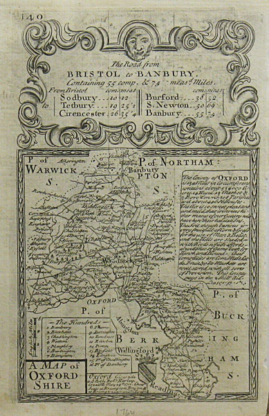
A Map of Oxfordshire. The Road from Bristol to Banbury
Method
Copper engraving
Artist
Owen, John and Bowen, Emanuel
Published
1720
Dimensions
180 x 113 mm
Notes
Framing
unmounted
Price
£85.00
Stock ID
21858
Quantity
required