
| Method | Copper engraved with original hand colour |
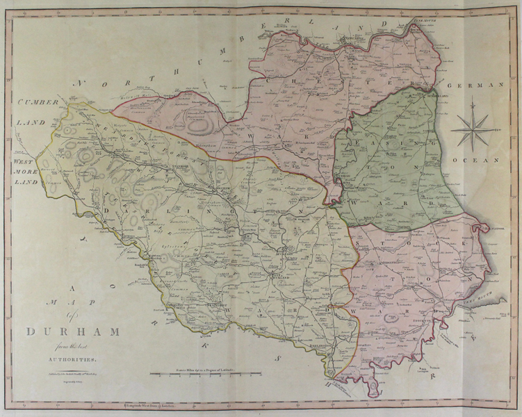
| Artist | Cary, John |
| Published | Published by John Stockdale, Piccadilly 26th of March 1805 |
| Dimensions | 395 x 510 mm |
| Notes |
A detailed county map from Cary's 'New British Atlas' of 1805, reissued from his 'New and Correct English Atlas', published in 1787-1789. John Cary (1755-1835) was an English cartographer, engraver, globe maker and publisher, often working with his brothers George and Francis. In 1770, he was apprenticed to William Palmer, and became surveyor of roads to the general post office around 1794. He is best known for his English county atlases, particularly Cary's New and Correct English Atlas, published in 1787-1789, and the miniature Traveller's Companion. He also engraved the plates for Robert Gough's edition of Camden's Britannia, which was published in 1806. John Stockdale (1749 - 1814) was a publisher of books and prints. Between 1780 and 1781 he worked for the radical publisher John Almon, and then on his own account in Piccadilly. In 1788 he was indicted, unsuccessfully, for libel after publishing John Logan's Review of the Charges Against Warren Hastings. His business was carried on after his death by his son John Joseph. Condition: Vertical folds , as issued. Slight time toning and discolouration. |
| Framing | unmounted |
| Price | £75.00 |
| Stock ID | 43002 |