
| Method | Woodcut |
| Artist | Hall, Sidney |
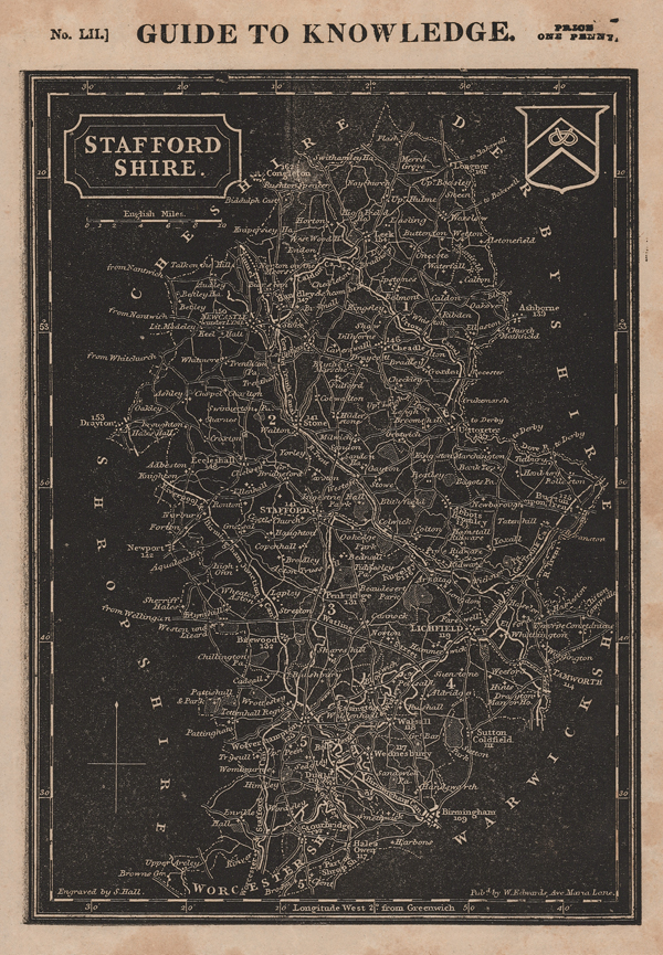
| Published | Engraved by S. Hall. Pubd. by W. Edwards, Ave Maria Lane [c.1835] |
| Dimensions | 240 x 165 mm |
| Notes |
A detailed map of the county of Staffordshire, printed in black from William Pinnock's Guide to Knowledge (No. LII). This publication was a serialised work that also included county maps, town plans and maps of the continents. The maps from this series are interesting as they are printed using a relief woodblock printing process so the lettering and outlines are in white with a black background. Sidney Hall (1818-1860) was a prolific engraver who produced maps for many atlases and publishers. In particular, he engraved a set of English county maps which were issued under several atlas titles. These maps went through many editions and show a series of revisions. It is common, for example, to find railway information updated by hand. Condition: Foxing to margins. Blank on verso. |
| Framing | unmounted |
| Price | £45.00 |
| Stock ID | 51509 |