
| Method | Chromolithograph |
| Artist | Johnston, Alexander Keith |
| Published | Engraved, Printed, and Published by W. & A.K. Johnston, Limited, Edinburgh & London, May 1912 |
| Dimensions | 577 x 444 mm |
| Notes |
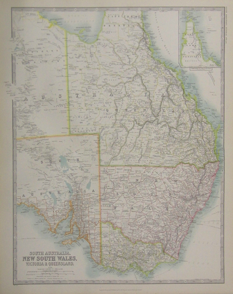
A large map of the East Coast of Australia, inland to the centre of South Australia and the Northern Territory, from the 1912 reprint of Keith Johnston's General Atlas. The Cape York peninsula, cut off on the main map, is featured in an inset map in the top right corner. Alexander Keith Johnston (1804-1871) was a Scottish geographer who was the first to bring the study of physical geography into competent notice in England. His son Alexander Keith Johnston (1844-1879) was also the author of various geographical works and papers. Condition: Central horizontal fold as issued. |
| Framing | unmounted |
| Price | £90.00 |
| Stock ID | 35684 |