
| Method | Copper engraved with hand colour |
| Artist | Homann, Johann Baptist |
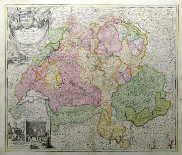
| Published | 1732 |
| Dimensions | Image 486 x 575 mm |
| Notes |
Large scale map of Switzerland, divided into cantons, from the Homann Atlas. Johann Baptist Homann (20th March 1664 - 1st July 1724) was a German engraver and cartographer, and the Imperial Geographer to the Holy Roman Emperor Charles VI. In 1702 he opened a publishing house in Nuremberg, and his maps often make reference to his membership of the Prussian Royal Academy of Sciences and his imperial patronage. Upon his death, his maps passed to the Homann Heirs company and reprinted many times before the company closed in 1848. |
| Framing | unmounted |
| Price | £375.00 |
| Stock ID | 8937 |