
| Method | Lithograph with hand colour |
| Artist | Davies, B. R. |
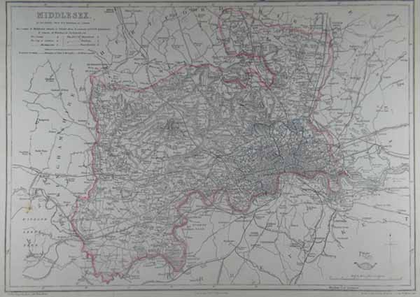
| Published | London: Published at the "Weekly Dispatch" Office, 139, Fleet Street, London, and Sold by All Booksellers and Newsagents. 1863. |
| Dimensions | 300 x 425 mm |
| Notes |
From The Dispatch Atlas. A map of the county of Middlesex, with boundaries and railways marked. A small information panel below the title describes the size and parliamentary divisions of the county. Between 1857 and 1863, the British newspaper The Weekly Dispatch published a series of maps. Over 100 maps were produced, and in 1863, the maps were gathered together to form The Dispatch Atlas. The atlas contained county and country maps, as well as several city maps. Each of the maps featured a distinctive image of a half-globe with a winged mercury above. Condition: Time toning to edges of sheet. Small tears to margins. Large chip from bottom left margin. |
| Framing | unmounted |
| Price | £50.00 |
| Stock ID | 38801 |