
| Method | Steel engraved with original hand colour |
| Artist | Dower, John |
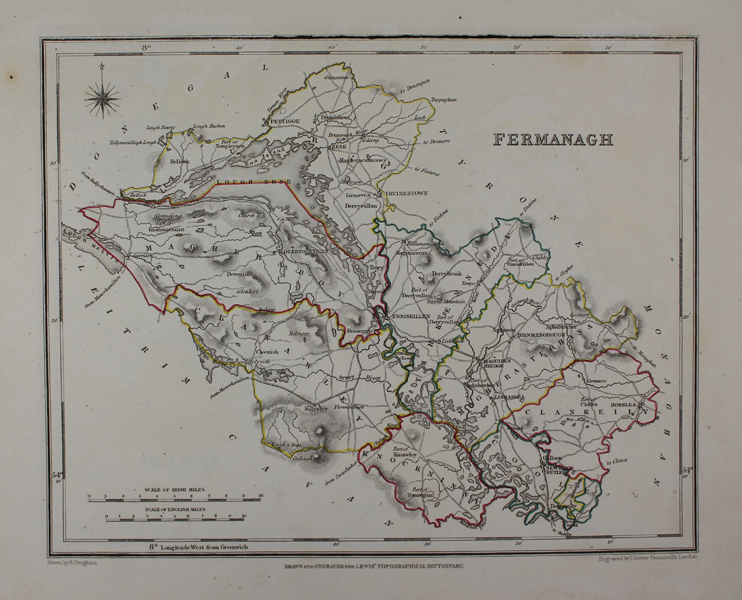
| Published | Drawn by R. Creighton. Engraved by J. Dower Pentonville London. Drawn and Engraved for Lewis' Topographical Dictionary. [London, 1840] |
| Dimensions | 195 x 235 mm |
| Notes |
A nineteenth century map of County Fermanagh, Ireland, from Lewis's Atlas, Comprising the Counties of Ireland and a General Map of the Kingdom. The borders of the baronies are outlined in original hand colour. John Crane Dower (c.1791-1847) was a British engraver, mapmaker, publisher, and printseller. A prolific engraver, he worked on numerous popular atlases, as well as larger separately published folding maps and county surveys. His son, John James Dower, produced maps for the Dispatch Atlas. Condition: Top border lined in with manuscript black ink. Blank on verso. |
| Framing | unmounted |
| Price | £50.00 |
| Stock ID | 48434 |