
| Method | Copper engraved with hand colour |
| Artist | Moll, Herman |
| Published | [Timothy Childe, London, c. 1701] |
| Dimensions | 164 x 185 mm |
| Notes |
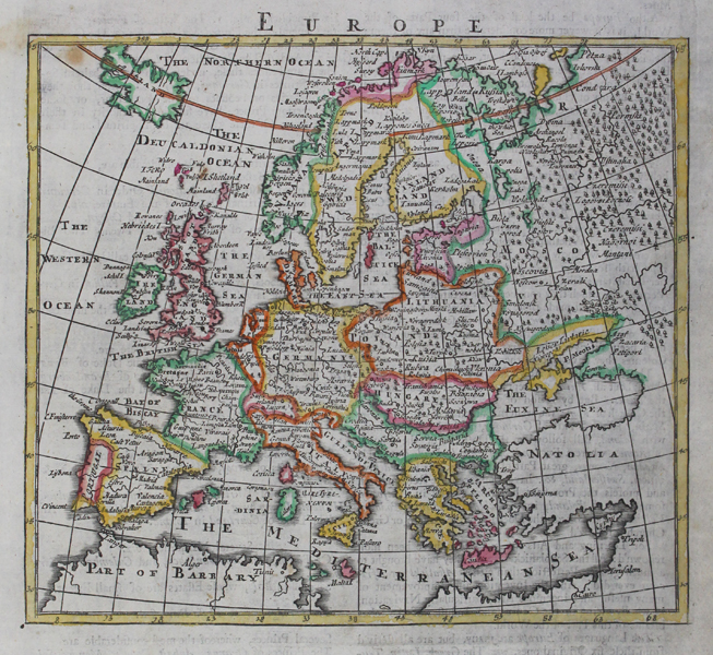
A detailed map of Europe showing the major cities. From Herman Moll's 'A system of geography; or, A new & accurate description of the earth in all its empires, kingdoms and states', published by Timothy Childe in 1701. English text below image and on verso provides an account of navigation. Herman Moll (c.1654-1732) was born in Germany and came to England in the 1670s. He worked as an independent cartographer and geographer, and traded as a map publisher and seller for two years, and then worked for other publishers. Moll established his own business and eventually dominated the early eighteenth century map trade. He produced many maps and atlases of England, Wales, Scotland and Ireland. His county maps were all boldly engraved in a heavy style. Moll was also an active member in academic and intellectual circles, being a close associate of Daniel Defoe, Robert Boyle, Robert Hooke, and, most importantly for his cartographic career, the pre-eminent English explorer of the era, William Dampier. Condition: Time toning to margins. |
| Framing | unmounted |
| Price | £200.00 |
| Stock ID | 45538 |