
| Method | Steel engraved with hand colour |
| Artist | Moule, Thomas |
| Published | [London, c.1840] |
| Dimensions | 205 x 260 mm |
| Notes |
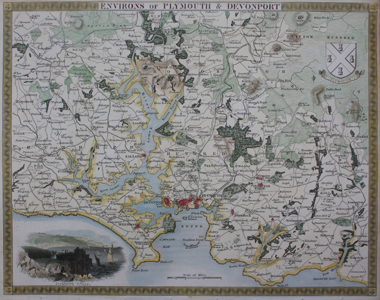
A decorative map of the environs of Plymouth, Devonshire. Towns and villages are plotted, with key places picked out in red, and in the bottom left corner, a vignette shows Plymouth Citadel. Thomas Moule (1784-1851) was a British writer, engraver, cartographer, and antiquarian. Originally a writer on Heraldry and general antiquities, Moule was born in Marylebone, London. From around 1816 to 1823 he was a bookseller, from his shop in Grosvenor Square, London. He then became an inspector of letters in the General Post Office, where his responsibilities included trying to 'read' illegible hand writing. His highly decorative series of county maps were first published in separate issues for each county between 1830 and 1832. In 1836 these were brought together in one work, by George Virtue & Co. They continued to appear in Rev. Barclay's Dictionary into the 1840's. Condition: Binder's holes to bottom margin, not affecting map. Creases to corners of sheet. Time toning to margins. Blank on verso. |
| Framing | unmounted |
| Price | £70.00 |
| Stock ID | 49134 |