
| Method | Copper engraved with hand colour |
| Artist | Cowley, John |
| Published | [London c. 1745] |
| Dimensions | 131 x 182 mm |
| Notes |
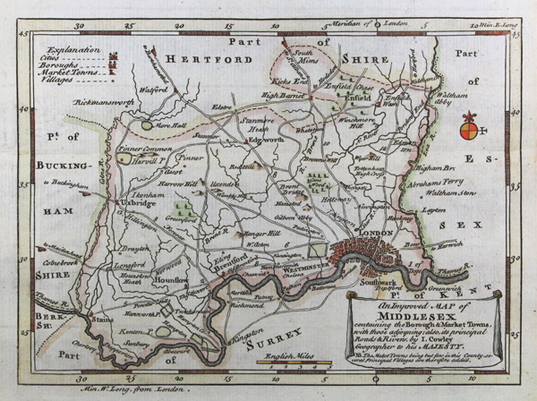
A scarce, small decorative map of Middlesex including roads, the river Theems, hills and forests, as well as a key to cities, boroughs, market towns and villages in the county. From John Cowley's The Geography of England and later A New Sett of Pocket Mapps of all the Counties. John Lodge Cowley (1719-1768) was an English cartographer, mathematician and geologist. He was cartographer to King George II and specialised in maps of English counties. He often worked together with the engraver Emanuel Bowen and publisher Robert Dodsley to realise his maps. Condition: Excellent, crisp impression. Trimmed within plate mark to the right. Pressed horizontal fold as issued. |
| Framing | mounted |
| Price | £100.00 |
| Stock ID | 43303 |