
| Method | Copper engraved with hand colour |
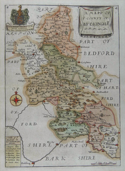
| Artist | Blome, Richard |
| Published | c. 1715 |
| Dimensions | 247 x 175 mm |
| Notes |
From Thomas Taylor's England exactly described. Taylor obtained Richard Blome's plates and republished them. Blome was one of the most active map-publishers of his day, working between about 1667 and 1705. His principal publications are the 'Geographical Description of the World', and two county atlases, the 'Britannia', published in 1673, and 'Speed's Maps Epitomiz'd', published in 1681. Blome first began engraving maps for his Geographical Description Of The Four Parts Of The World in 1667. The completed volume was in small folio, and contained 24 maps (plus one duplicated), engraved by Francis Lamb, Thomas Burnford and Wenceslas Hollar. |
| Framing | mounted |
| Price | £220.00 |
| Stock ID | 3327 |